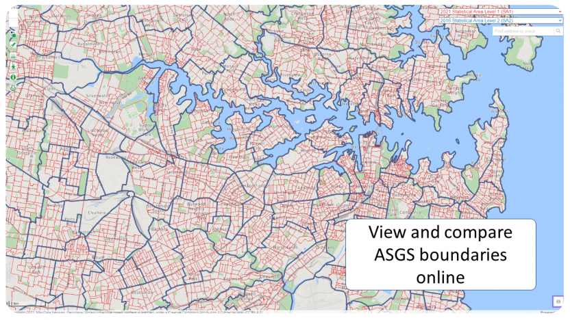
ABS Maps
ABS Maps is an easy to use online interactive map that displays up to two ASGS boundaries at a time. Zoom to and click on a particular area of interest to bring up the code and name. Alternatively, search for a region by code or name, or search for a street address. ABS Maps are also printable. ABS Maps is the most efficient way to quickly establish what region an address is in for any ASGS boundary from 2011 to 2021, and also some older Australian Standard Geographical Classification (ASGC) boundaries. ABS Maps quickly gives a sense of the size of each geography, allowing users to make informed comparisons between boundaries.
Finding a specific ASGS area
Search for an address in ABS maps and choose a boundary type. Click in the area around the address to see the correct name and code.