ABS Maps
Latest release
Australian Statistical Geography Standard (ASGS)
Reference period
Edition 4, July 2026 - June 2031
Released
22/07/2026
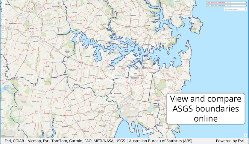
ABS Maps is an online interactive mapping tool that displays up to two ASGS boundary types simultaneously. It can be used to identify what geography an address is in for any ASGS boundary from 2011 to 2026, and some older Australian Standard Geographical Classification (ASGC) boundaries. It also offers a visual representation of the size of each geography, allowing comparisons between boundaries.
The functions in ABS Maps include:
- Choose a boundary type - select one or two ASGS boundary types from the drop-down menus in the top right corner.
- Find address or place – search for an address or place using the top right corner search bar.
- Zoom – zoom in or out to your area of interest and click on the map to view the ASGS attributes (code and name) for the selected ASGS boundary types.
- Swap boundaries – switches the red boundary to blue and vice versa.
- Search – the left search opens a new search field allowing for a search by ASGS boundary code or name.
- Identify regions and ASGS classification – generates a table of ASGS classifications for a location based on latitude and longitude. The table lists the geography type, ASGS name and code, and has a view functionality to change the boundary displayed on the map.
- Download – when a boundary is selected it will link to the relevant ASGS publication to download files for that geography.
- Boundary information – Displays the ASGS diagram which shows ABS and Non ABS Structures and the relationships between each statistical geography for the different editions of the ASGS.
- Print – provides basic print functionality.
- Create link – generates a shareable link with the selected boundaries and zoom extent.